
July 13, 2026 | Weather Alerts
FORECAST OUTLOOK: MONDAY THUR SATURDAY 7AM FROM STATE CLIMATOLOGIST, JAY GRYMES
A Good Day for Ducks!
Comments are mine … federal weather expertise is housed at the local NWS offices serving Louisiana …
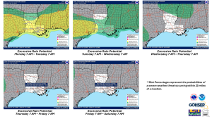
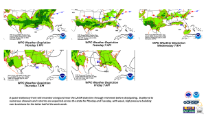
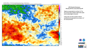
Monday shapes up to be another wet day for all of South Louisiana with scattered rains expected for the northern parishes. Expect scattered showers and t-storms for northern LLA on Tuesday with rain likely again for the southern parishes. In some instances, localized flooding could be an issue where slow-moving or ‘training’ storms develop, but widespread flooding is not a critical concern over the next couple of days. Plan for a drier pattern for the latter half of the work week.
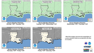
The good news is that severe weather is not expected to be a significant problem this week, although an occasional rogue strong storm cannot be totally discounted.
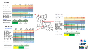
Highs in the 80°s on Monday and Tuesday will give way to a return of the 90°s with the anticipated drier pattern … peak heat index readings will climb to the 100°-105° range statewide by week’s end.
Good news in the tropics: the NHC does not expect any development in the Atlantic Basin through the next 7 days, and the extended outlook from the CPC keeps the basin quiet through at least July 28.
Thanks/Courtesy:
NWS local WFOs serving Louisiana: SHV, JAN, LCH & LIX
NWS Weather Prediction Center (WPC)
NWS Storm Prediction Center (SPC)
NWS Water Prediction Service
WeatherModels.com
GOHSEP & LSU