
July 7, 2026 | Weather Alerts
WEATHER OUTLOOK FROM JAY GRYMES, STATE CLIMATOLOGIST 7.7.26
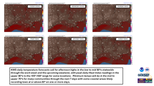
July 7-12 Weather Outlook
Go to the NWS or a media weather partner for greater local detail …
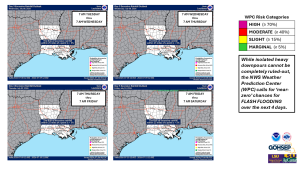
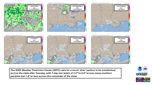
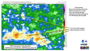
A summer pattern of ‘hot ‘n humid’ will be the rule for all of Louisiana through the upcoming 7 days. Scattered to numerous showers and t-storms are in the forecast for Tuesday but it turns drier (and a little hotter) for most communities (especially the northern half of the state) after Tuesday and into the weekend.
PLEASE be extra careful outdoors … as the heat will combine with abundant mid-day sunshine at times to add another 5° to 15° to the reported hourly heat index values … remember, that heat index is the ‘feels like’ temperature in the shade.
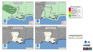
Fortunately, severe weather will not be a significant issue although one or two strong t-storms will be possible along with isolated heavy downpours where rogue storms develop and remain in place.
As for the tropics, the news out of NHC is good as is the extended outlook from the CPC: at this time, Atlantic Basin tropical development appears unlikely through the next 10-15 days.
Thanks/Courtesy:
Local NWS forecast offices serving Louisiana: SHV, JAN, LCH & LIX
NWS Weather Prediction Center
NWS Storm Prediction Center
NWS Climate Prediction Center
NWS Water Prediction Service
National Hurricane Center
WeatherModels.com
TropicalTidbits.com
GOHSEP
LSU College of the Coast & Environment
LSU AgCenter
Jay Grymes
State Climatologist
Cell: 225-505-6916