
August 24, 2026 | Weather Alerts
UPDATE FROM STATE CLIMATOLOGIST, JAY GRYMES 8.24.26
LOSC Look into the Work Week
Comments are mine … check with the NWS professionals for the federal weather expertise.
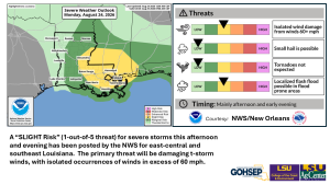
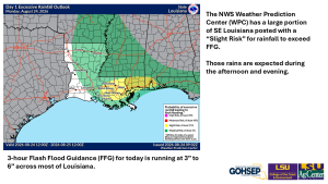
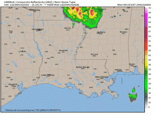
It could be another bumpy afternoon and evening for some eastern and southeastern parishes as isolated-to-scattered storms are once again expected to track north-to-south into the areas designated with a “Slight Risk” for severe storms and excessive downpours. A few of those storms could go severe … as we’ve seen the past few days.
Satellite animation is already showing the energy pulse rolling to the south and southeast out of Arkansas around the eastern flank of the southwestern U.S. “heat dome”. Temperatures across most of the state will reach the mid- to upper-90°s, with peak heat index readings in the triple-digits, before the rain and clouds arrive.
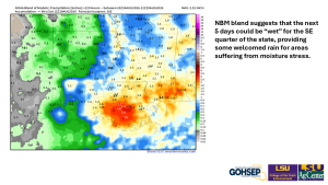
The only good news from a rain standpoint is that much/most of southeast Louisiana will benefit from decent rains over the next 4-5 days. Unfortunately, it currently looks like the western half of the state will miss out on most/all of those rains, resulting in drought intensification there.
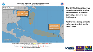
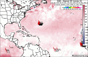
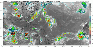
In the tropics, the NHC is watching two areas of interest, but neither is a threat to the Gulf region.
Courtesy:
NWS forecast offices serving Louisiana: SHV, JAN, LCH & LIX
NWS Storm Prediction Center (SPC)
NWS Weather Prediction Center (WPC)
National Hurricane Center (NHC)
WeatherModels.com
Weathenerds.org
Tropical TidBits.com
Jay Grymes
State Climatologist
Cell: 225-505-6916