
October 8, 2026 | Weather Alerts
UPDATE FROM STATE CLIMATOLOGIST, JAY GRYMES 10.8.26
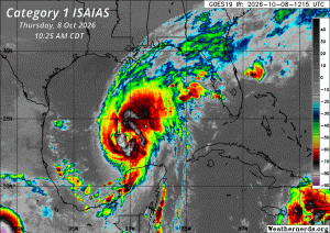
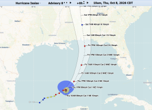
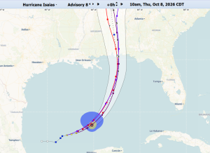
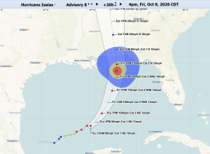
Thursday 11 AM Tropical Update: ‘Cat 1’ Isaias
Opinions/comments are mine … federal weather expertise is housed at the NHC and LA’s local NWS offices. Stay informed with your local media experts.
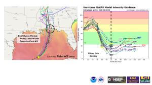
Isaias (“ees-ah-EEE-ahs”) is going to be another ‘hard hit’ for the Florida Panhandle …
landfalling at nighttime to add to the confusion and chaos.
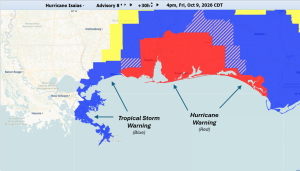
At this stage, forecast persistence leads to high confidence that Louisiana is mainly “out of play.” The latest NHC forecast wind field for Isaias suggests that low-end tropical storm winds could reach as far west as Plaquemines and St. Bernard parishes, but this may be a generously expended wind envelope for the west side of the storm track.
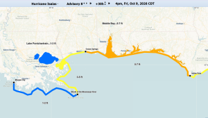
Given the counter-clockwise circulation around the growing, strengthening hurricane as it tracks south-to-north, east-facing Louisiana shores for Plaquemines and St. Bernard parishes should prepare for 2 ft to 4 ft of surge with those numbers potentially getting higher in spots.
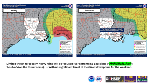
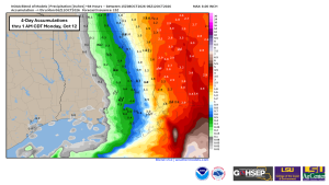
Rain forecast linked to Isaias also indicate an extended westward reach of 1″ to 3″ rains into the easternmost coastal parishes, but the majority of the state looks to stay mainly dry through the weekend.
Thanks:
National Hurricane Center (NHC)
NWS offices serving LA: SHV, JAN, LCH & especially LIX
NWS Weather Prediction Center (WPC)
WeatherNerds.org
WeatherModels.com
PolarWX.com
GOHSEP & LSU
Jay Grymes