
October 8, 2026 | Weather Alerts
UPDATE FROM US NWS LAKE CHARLES 7 AM 10.8.26
Good morning all,
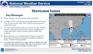
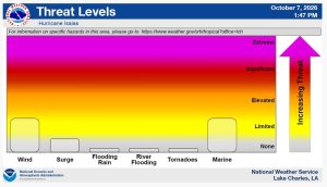
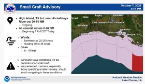
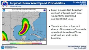
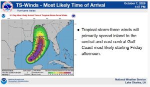
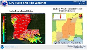
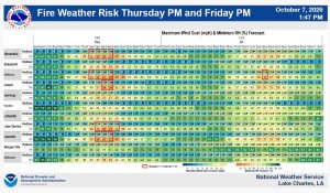
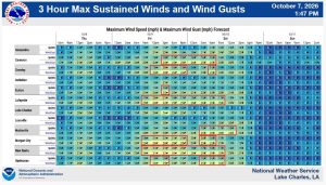
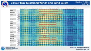
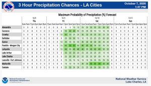
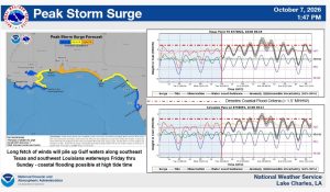
Attached you’ll find the latest forecast regarding Hurricane Isaias and as well as the elevated fire danger today and Friday. The main talking points are here:
- Now a category 1 hurricane with winds of 80 MPH.
- Conditions in the Gulf will support strengthening over the next 24 to 36 hours as the storm turns north and approaches the central Gulf coast.
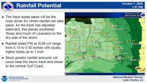
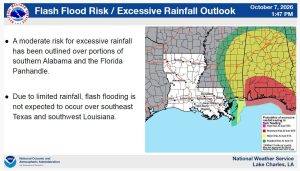
- The main tropical impacts will occur well to the east, however, breezy to gusty winds and periods of heavy rainfall across central and south-central Louisiana will be possible this weekend.
- Water piling up in the northwest Gulf will drive up high tide levels along the Texas and Louisiana coastlines beginning Friday. Coastal flooding possible.
- An environment supportive for a rapid spread of wildland fires will evolve this afternoon and again Friday due to an increase in wind speeds combined with low relative humidity values.
Please reach out to us via Slack for questions.
NWS Lake Charles